
Collier County ZIP Coverage
The official Collier County planning map shows 22 ZIP labels touching the county. It was exported in May 2020 from USPS-supplied June 2019 data and carries an accuracy and completeness warning. The table groups the codes by their clearest local anchors. It does not claim that every postal edge matches a neighborhood, city, fire district, or voting precinct. Use the county map for context and USPS for a current, complete address.
| ZIP Code | Areas Covered | Post Office | Notes |
|---|---|---|---|
| 34102, 34103, 34104, 34105 | Central, Old, west-central, east, and central-east Naples postal areas | Naples Post Office anchors 34102 | City and postal borders differ |
| 34108, 34109, 34110 | Vanderbilt and North Naples to the Lee line | Coco River station anchors 34108 | 34110 needs a jurisdiction check |
| 34112, 34113, 34114 | Government Center, East Naples, Lely, and southeast corridor | County and library service anchors | Large unincorporated areas |
| 34116, 34117, 34119, 34120 | Golden Gate and Golden Gate Estates | Golden Gate and Estates library anchors | 34117 and 34120 include rural large parcels |
| 34134 | Bonita Springs postal geography at Lee border | Verify through USPS | Touches the county-edge mismatch |
| 34137, 34138, 34139, 34140, 34141 | US-41, Chokoloskee, Everglades City, Ochopee, and the rural southeast | Everglades City branch anchors 34139 | Verify each delivery address |
| 34142 | Immokalee | Immokalee library branch anchor | Use current code, not stale 34143 references |
| 34145 | Marco Island | Marco Island branch anchor | Separate municipality |
The research did not verify a post-office station for every line or establish that any listed code is exclusively for boxes or one institution. That gap should remain visible. The ZIP code directory is a geographic starting point, not a substitute for the live postal lookup.
Check the Collier ZIP Map
The county's official ZIP map is the best countywide visual source identified in the research. It places all labels on one planning sheet and makes the long east-west reach of Collier County easy to see. Read it with the printed source date and disclaimer in mind.
ZIP edges are delivery geography. They may cut across community names and public-service districts. A map point can narrow the likely postal area, but parcel GIS should settle whether the land lies in a city or in unincorporated Collier County.
Note: No verified county source documented a historic mass ZIP realignment year, so current addresses should be checked directly instead of inferred.
Verify Collier County ZIP Addresses
The USPS ZIP Code Lookup checks a complete address or returns codes associated with a city and state. Enter the street number, street name, unit, city, and state as accurately as possible. If a result differs from an old letter, directory, or web listing, preserve the old form for historical research but use the current USPS form for present delivery.
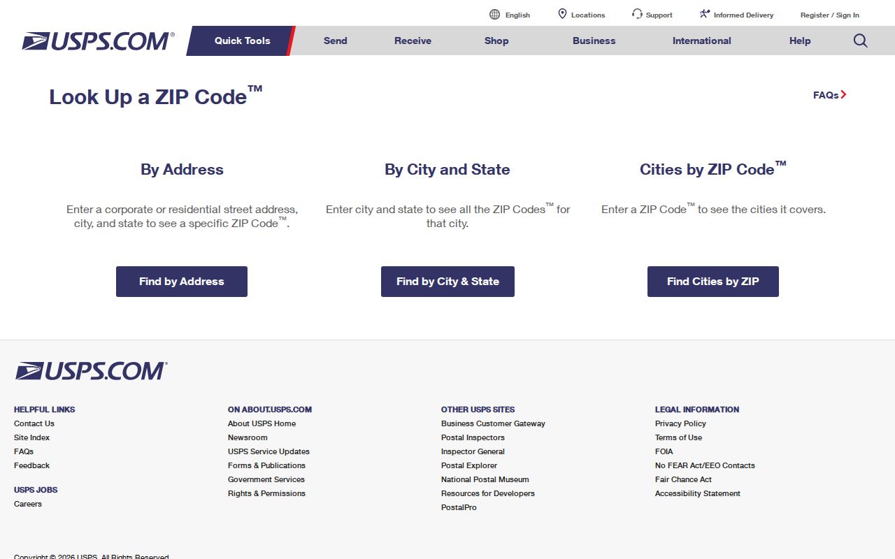
The USPS result should be paired with the Collier County Property Appraiser. Match the street address to a folio, the county's parcel identifier, and read the situs address. A situs address describes the property location. The mailing address tells where the tax notice goes. Those may use different ZIPs.
Naples ZIPs Beyond City Limits
Naples is the clearest Collier County boundary trap. The incorporated city has roughly 20,000 residents, while the county's estimated population exceeded 417,000 in 2025. Many people and parcels outside city limits still receive mail with Naples in the city line. The large difference explains why postal name alone is poor evidence of city jurisdiction.
Resolve an address to its Property Appraiser folio, then use county or municipal GIS to determine jurisdiction. That choice affects which permit and code custodian to search. The county CityView portal serves county growth-management records, while a parcel inside a municipality can follow that city's system. Naples annexation-history GIS supplies the time layer when an older record predates a boundary change.
Boundary check. Treat "Naples, FL" as a postal label until a parcel or jurisdiction map confirms the government boundary.
Collier Growth Across ZIP Areas
Collier County grew from 375,752 residents in the 2020 census to an estimated 417,131 in 2025. Those residents are spread across almost 1,997 square miles of land. The numbers help explain why one Naples postal label can cover very different places, from dense coastal blocks to planned inland communities and rural parcels.
Growth also makes stale directory entries more likely. Verify the current code before using a ZIP to filter a recent roll. When tracing an older resident, keep the record's date beside its address and do not silently replace the old postal form. ZIP geography is maintained for mail, so a current postal lookup may not describe how a historical record was indexed.
The Golden Gate Estates codes 34117 and 34120 show the scale issue well. Large rural parcels and long roads make a map-based selection more reliable than assuming nearby house numbers share the same delivery or district boundary.
Find Collier Residents by ZIP
Use ZIP as a filter, not as proof. The Property Appraiser search supports owner, location, parcel, subdivision, and advanced modes. A location or advanced result may expose the property situs and mailing destination. County GIS can then select land spatially inside a postal layer when the viewer provides one. A ZIP-wide resident lookup will still miss renters and household members who are not named owners.
- Verify the complete address in the USPS tool. Save the standardized form and current code.
- Search the Property Appraiser by location and open the matching parcel card. Compare situs and owner mailing ZIPs.
- Use GIS geometry when the task concerns every parcel inside a boundary. Text city-name filters can cross government lines.
- For voter data, use the authenticated status tool only for your own record or request a lawful public extract from Elections.
The Supervisor of Elections public-record route accepts requests through NextRequest, email, phone, mail, or in person. The office documents a $10 voter-list charge and applies statutory exemptions. The public file can be sorted by lawful residence fields, but protected voters and exempt identifiers will be absent. Once a ZIP narrows the area, use the Collier County street directory for the distinct street and parcel process.
Collier ZIP Search Field Choices
Different fields answer different geographic questions. The Property Appraiser's owner and location tools locate current parcel records, while its radius mode finds parcels around a chosen folio. The voter self lookup authenticates one person's account and is not a public ZIP browser. Countywide extracts require a records request.
| Field or mode | Use in a ZIP search | What not to infer |
|---|---|---|
| Property location | Match a full street address and situs ZIP | Owner does not prove occupant |
| Owner name | Find parcels tied to a known titled owner | Mailing ZIP may be elsewhere |
| Subdivision or advanced search | Narrow a community within a broad postal area | Subdivision is not a ZIP boundary |
| GIS spatial selection | Select parcels inside mapped geometry | Layer dates and scales vary |
| Voter file request | Obtain nonexempt registration fields | It omits nonvoters and protected records |
Record the field used and the search date. A query of owner mailing ZIPs answers where tax notices go, while a situs query describes parcel locations. Mixing the two can move an absentee owner into the wrong Collier County area.
Collier ZIP Edge Cases
Code 34134 sits at the Lee-Collier edge and carries Bonita Springs postal geography. It should trigger both an address check and a county check. Marco Island's 34145 belongs to a separate municipality. Immokalee's current 34142 should take priority over stale references to 34143. In the southeast, 34137 through 34141 cover sparse and rural places where a city-name search can be especially weak.
Library branches provide useful place anchors, not boundary definitions. Headquarters sits in 34109, the Golden Gate branch anchors 34116, the Estates branch anchors 34120, and Immokalee, Everglades City, and Marco Island branches mark their local service areas. Each exact street address should still go through USPS and parcel GIS.
Note: The official sources did not classify every Collier code as street-delivery, PO-box-only, or unique, so no such labels are assumed here.
Current Collier ZIP Map Sources
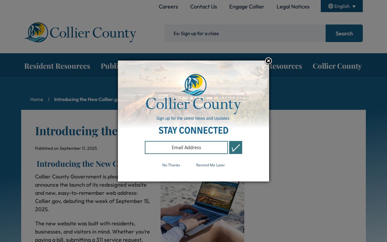
Collier County announced a redesigned government website in 2025. The county redesign notice helps explain why older bookmarks and paths may change even when the underlying planning record remains available.
Keep the county PDF, USPS tool, Property Appraiser, and GIS roles separate. The planning map gives a countywide snapshot. USPS validates current postal delivery. The appraiser ties an address to a folio, and GIS settles spatial and government context. Together they are stronger than any single ZIP code directory entry.
Collier ZIPs Versus City Limits
A ZIP code routes mail. A city limit defines municipal government. A Census ZCTA is a statistical shape built to approximate a postal area. These boundaries serve different purposes and should not be swapped. In Collier County, that distinction is essential because Naples postal geography reaches far beyond incorporated Naples, and 34134 touches the county edge near Lee County.
- ZIP and ZIP+4
- The five-digit code routes to an area; the extra four digits narrow delivery to a smaller segment.
- PO-box ZIP
- A code assigned chiefly to post-office boxes rather than normal street delivery.
- Unique ZIP
- A code assigned to one high-volume institution or organization.
- Carrier route
- The smaller set of addresses served by one postal delivery route.
Do not pick a court, permit office, or elections district from a ZIP alone. Match the street address to its folio and map the parcel. The result will distinguish the mailing name from the actual city or unincorporated county jurisdiction. That final check turns a rough Collier County ZIP code directory search into a reliable records search.