
Walk a Collier County Street
A reliable street-by-street search begins with land, not a person’s name. Collier County’s parcel record gives the physical address, folio, legal description, current owner, and tax mailing address. Those facts create the bridge to the map and recorded instruments. They do not create a complete list of everyone in the home. The best Collier County street directory result is therefore a set of sourced facts, with ownership and possible residence kept separate.
- Enter the physical address in the Collier County Property Appraiser search. Save the folio, situs address, legal description, and owner name.
- Open the parcel map, zoom to lot lines, and click the parcels along the named street. Check units separately for a condominium.
- Use the parcel and owner in the Clerk’s deed index. Read the recorded deed rather than relying only on a result row.
- For registered voters, use the Supervisor of Elections public-record request channel. The personal status tool is authenticated and is not a public street browser.
- For an older household, ask the library for a criss-cross or reverse directory by exact title and year.
This sequence also controls same-name errors. A person’s spelling can vary, but a parcel’s legal description remains the stronger land identifier. When the goal is one named individual rather than the street as a whole, the Collier County resident lookup follows a different verification path.
Search Collier County by Address
The Property Appraiser offers more than one text box. Its tabs separate Owner, Site Address, Parcel ID, Sub/Condo, Radius, and Advanced searches. Site Address accepts a full address or a broader street fragment, so dropping a suffix or unit can reveal variants. At least one criterion is required. Parcel ID is the most exact route once a folio is known.
| Search mode | Input | Best street use |
|---|---|---|
| Site Address | Number, street, fragment | Find one parcel or broaden to a named road |
| Parcel ID | Complete folio | Return to one exact property |
| Sub/Condo | Name, number, prefix | Separate units in planned communities |
| Map/GIS | Spatial browse | Click lots in physical street order |
| Advanced | ZIP, street, subdivision, land grid | Filter a broader Collier County area |
The result card can show owners, folio, situs, mailing destination, municipality or tax district, legal description, values, exemptions, building facts, and sales. A homestead indicator can support owner occupancy, but it does not name each household member. Ownership may also lag a recording by about a month.
The Property Appraiser’s main search site shows the current entry point and available property tools.
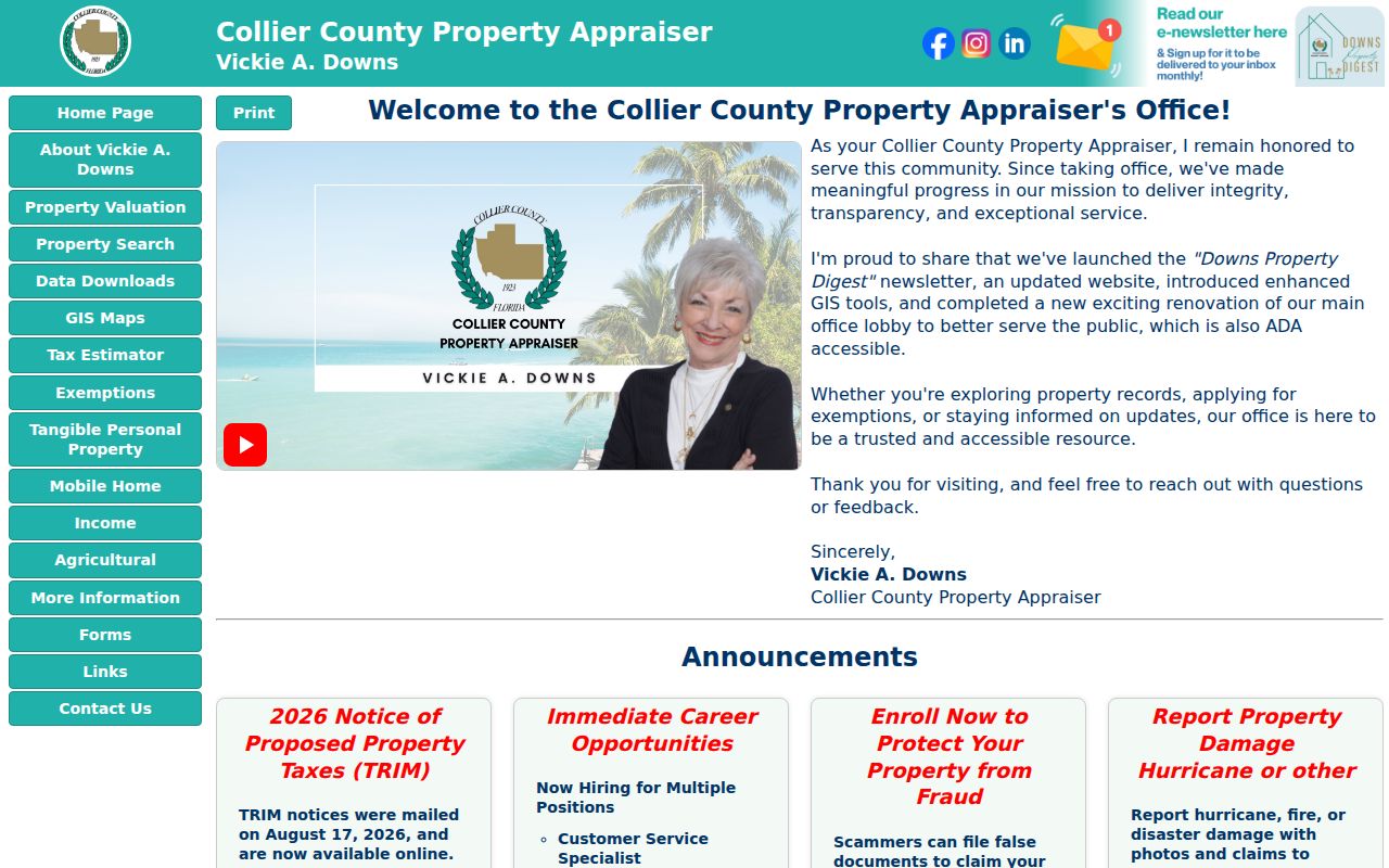
Use the search modes to move from a broad road name to a verified folio before consulting other records.
Map Collier County Street Parcels
GIS supplies the order that a text result cannot. Search an address, zoom until parcel boundaries appear, and select each polygon along the road. The property-detail link confirms the folio. Aerial imagery and jurisdiction, zoning, flood, or district layers add geographic context, but they do not identify people. On curved roads and in gated communities, parcel shapes are safer than assuming consecutive house numbers.
Condominiums need extra care. Many unit folios can share one mapped parcel, so the visible polygon may not reveal every unit owner. Return to Sub/Condo or Site Address search and test unit data. The Radius tool is useful for a nearby area, but it measures 100 to 1,000 feet from the subject parcel edge and excludes the subject parcel itself. The block page covers that special nearby-parcel method; a street directory should still follow the named road.
The Property Appraiser update page describes enhanced GIS tools and the current site.
The map is most useful when every selected lot is checked against its own property card.
Note: Map layers explain a parcel’s setting, while ownership and recorded rights must still be confirmed in the underlying records.
Collier County Street Record Sources
No single source is a complete Collier County street directory. The physical address starts the chain, and the folio or legal description keeps it tied to the right land. Each custodian adds a limited layer.
| Source | Keeper | Street evidence | Access route |
|---|---|---|---|
| Property roll | Property Appraiser | Owner, situs, mailing address, parcel facts | Free web search and public inspection |
| Parcel GIS | Appraiser and County GIS | Lot shapes, nearby parcels, map layers | Free viewer and linked cards |
| Official records | Clerk Recording | Deeds, liens, plats, notices | COR online, counter, copies, staff search |
| Voter file | Supervisor of Elections | Nonexempt registrants by reported residence | Written public-record request |
| Permit and code files | Correct county or city office | Address events, applicants, inspections | CityView or custodian request |
| Reverse directory | Library or licensed collection | Listed adult or phone account by address | Catalog, staff help, branch access |
The public voter status lookup asks for first name, last name, and date of birth tied to state identification. It is meant for a voter checking a personal record. A street-based voter extract instead requires a public-record request and can omit protected voters, preregistered minors, and Address Confidentiality Program participants. Voting history never shows a ballot choice.
From Collier Address to Deed
Recorded deeds answer who took or gave title, not who slept at an address. Begin with today’s owner and legal description. In the COR Official Records system, search the owner as a grantee and choose DEED when a date range will help. Open the purchase deed, note the grantor, instrument number, recording date, book and page, then confirm that its legal description matches the parcel.
Repeat with the grantor as an earlier grantee to move back through the chain. COR’s live range distinguishes a verified index from 1957 forward and advanced legal or case criteria from 2003. The Clerk’s 2025 conversion added more than one million pages and announced public image access back to Collier County’s creation in 1923. Those statements describe different levels of search access. For older material, bring a party and year or known book and page to Recording staff, use converted images, request a paid staff search, or inspect microfilm.
The Clerk’s recording and copy page gives the official access and fee context.
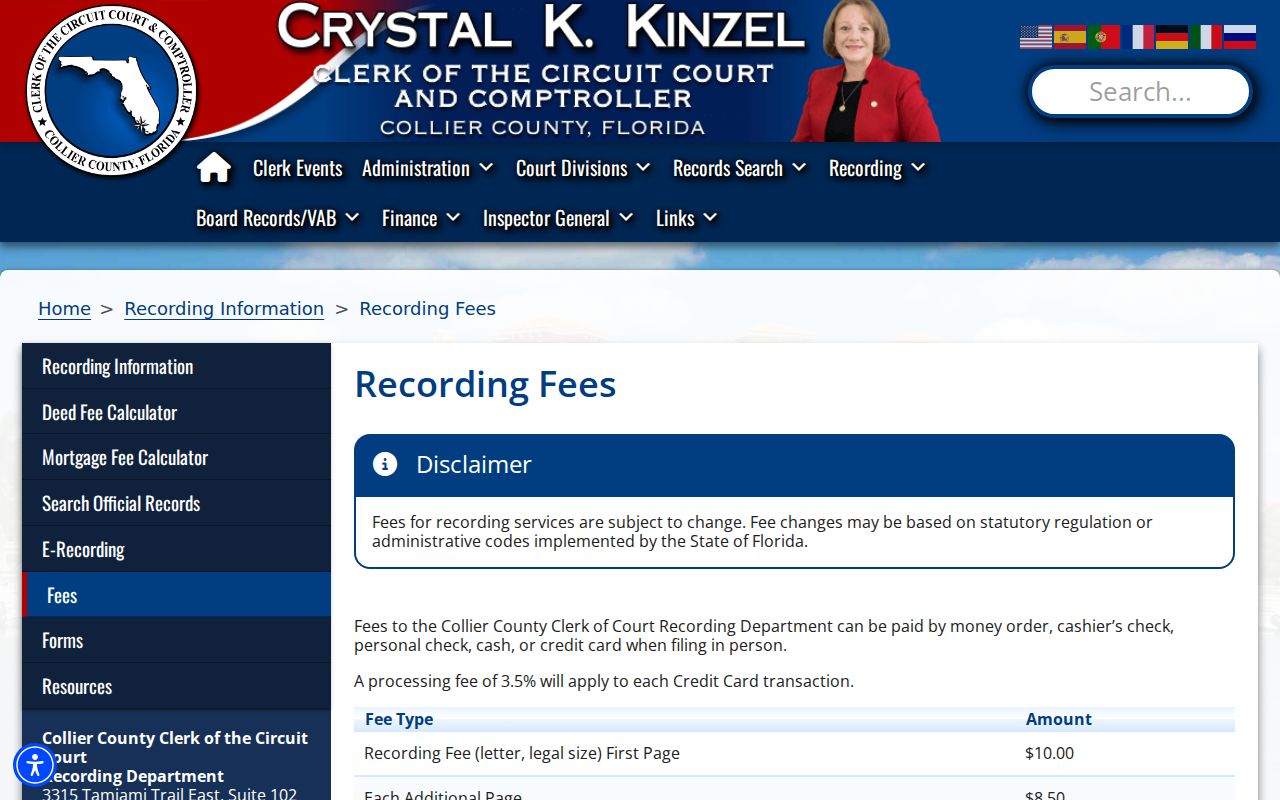
Online images are free when unrestricted; the researched schedule lists $1 per page, $2 per document certification, and $2 per name, instrument, and year for staff searching.
Collier County Address Terms
Four record terms prevent common mistakes when searching by street. Keep them beside the folio and full address in research notes.
- Parcel
- A mapped tract or unit with its own folio and tax record.
- Situs address
- The physical location of the property, unlike the address used to mail the tax notice.
- Plat
- A recorded map that identifies a subdivision, lots, blocks, streets, and related boundaries.
- Criss-cross directory
- A directory section arranged by street or telephone number rather than by surname.
The mailing-versus-situs split matters greatly in Collier County. Seasonal homes, trusts, and absentee ownership can send tax notices far from the parcel. A match between mailing and situs can support an owner-occupancy inference, but it still does not identify all residents. The street directory must label each field for what it is.
Collier County Permits by Street
CityView allows basic public searches for county property, permits, and code complaints without an account. Public permit coverage begins in 2011. Searches can expose a project site address, parcel, owner contact, subdivision, lot, block, unit, permit type, status, work description, contractor, inspection, and related dates. An applicant or contractor may be an agent, so the record proves a project connection rather than residence.
Jurisdiction comes first. Naples, Marco Island, and Everglades City are separate municipalities, while most Collier County residents live outside them. A Naples mailing address does not prove the parcel is inside Naples. Resolve the folio and jurisdiction or use official annexation layers before choosing the county or municipal permit custodian. If the portal lacks an older file, request it from the responsible department under Florida Public Records Law. Phone, paper, or an electronic request can be used, and a special form or purpose statement is not required.
Note: The research found no verified countywide historic street renumbering, so do not assume a missing address was renumbered.
Old Collier County Street Clues
Collier County was created from Lee County in 1923. A pre-1923 deed, marriage, probate matter, or court trail may therefore belong in Lee County or a state series. The new county’s growth then changed the record landscape fast. Rail service reached Naples in December 1926, formally opened in January 1927, and the Tamiami Trail opened in April 1928. Plats, deeds, and later city directories help track that growth.
An older layer survives in geography. A Calusa canal used roughly from AD 700 to 1400 appears on the 1887 Naples plat between the Gulf and Naples Bay. Historic plats can preserve landscape and route context that a current road search hides. Legal descriptions are the best bridge across those changes because they are tied to land rather than a modern street label.
For listed households in the mid-twentieth century, the verified Naples Polk sequence includes 1955 and 1957 through 1960, with evidence of a 1970 title. Exact reverse-directory holdings are not published online. The Collier County city directory collections explain how to verify titles and years without inventing a continuous run.
Limits of Collier Street Directories
Public address records leave real gaps. The parcel roll identifies title holders, not a complete household. GIS shows land. Deeds show transfers. Permit files show work and named participants. The voter file covers registered, nonexempt voters only. A directory may omit seasonal residents, people who declined listing, renters, children, and anyone outside its geographic or publication scope.
Driver addresses are restricted by federal law and are not a fallback. Utility, delivery, congregation, association, and private member lists do not become public street directories merely because they contain addresses. Protected voters and qualified Address Confidentiality Program participants are expected omissions. Accept those limits instead of trying to work around them.
Lawful use. Use Collier County address records for genealogy, property research, civic review, or personal safety. Never use them to stalk, harass, threaten, or harm a person.
A commercial neighbor list may merge stale or unrelated data. If one is consulted, verify every claim with the official custodian and do not treat it as proof of who lives at the address. A careful Collier County street directory states both its source and its limits.
Federal motor-vehicle privacy restrictions close off driver addresses as a public fallback. Utility accounts do not supply a general household list either. Voter files can omit protected people, and a parcel record can show a trust or company instead of a natural person. When a street result stops at one of those limits, document the gap instead of filling it with a guess. For an older address, ask Naples Regional Library about reverse directories, telephone books, newspaper microfilm, and yearbooks. Those sources may name a listed household without claiming present occupancy.